 CliffsList
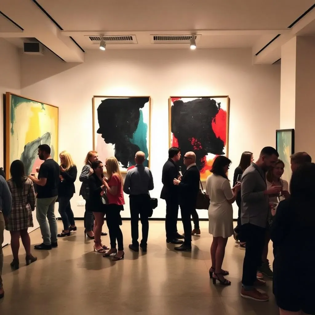
Geospatial + Urban Design Speakers Night at Cesium/Bentley
Presentations explore applications of geospatial technology in urban design and planning, with demonstrations of open-source software and time to meet and exchange ideas over pizza and drinks.
AI summary · From the event listing
November 10, 2026 · 5:30 PM – 7:30 PM
601 Walnut Street, Philadelphia ·
Keep your plans in one place. Free account.
Hear real-world presentations on geospatial technology in urban design and planning, see software tools in action, and exchange ideas with Philadelphia-area professionals.
AI · From the event listing
Organizer’s description
Join GeoPhilly for an evening exploring the intersection of geospatial technology, urban design, and planning in Philadelphia and beyond. For this meetup, we’ll gather at the newly opened Cesium and Bentley Technology Hub & Experience Center in Philadelphia’s historic Curtis Center. The space showcases the latest technologies for visualizing, analyzing, and understanding the built and natural environment—and provides a great setting for bringing together Philadelphia’s geospatial, GIS, tech, planning, design and AEC communities. We’ll have engaging presentations highlighting real-world applications of geospatial technology in urban design and planning, opportunities to see new open source software and technology tools in action, and plenty of time to meet and exchange ideas with others working across the region. Whether you're a GIS professional, urban planner, architect, engineer, designer, developer, graphics specialist, student, researcher, or simply interested in how maps and data can help shape better places, we'd love to have you join us. Come learn, connect, and share ideas over pizza and drinks!
Old City
Hosted by GeoPhilly
More like this